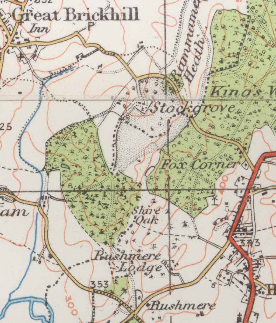
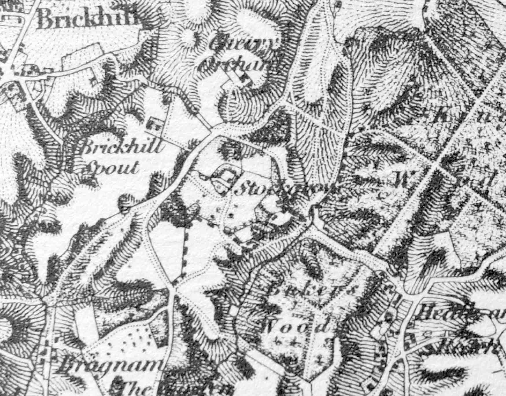
Stockgrove Maps
Near Heath and Reach
Leighton Buzzard
Bedfordshire / Buckinghamshire border
OS grid ref: SP 9130
Latitude: 51° 57' 26" N Longitude: 0° 40' 8" W
1:63,360 scale map dated 1924
1:63,360 scale map c1880
Return to home page